Paul A. Raschky (Department of Economics, Monash University, Australia)
Thursday, 19 September 2019, 12:00–13:30
SR Wegener Center, Brandhofgasse 5, 1st floor
Abstract:
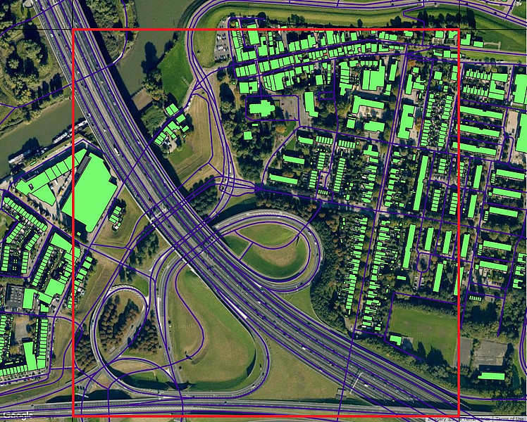
This paper proposes a methodology for predicting subnational economic development using high-resolution, daytime satellite imagery. We collected high-resolution satellite images and corresponding open-source ground-truth data for over 28 million 1km x 1km grid cells covering 25 European countries. We first use a standard random forest model to identify a subset of features from the ground truth data (e.g. buildings, roads) that best predict fixed capital at the EU-NUTSII level. We then train a convolutional neural network (CNN) to extract the relevant features from each daytime satellite image. The resulting measures are used to predict fixed apital at the EU-NUTSII level. In the final step, the predicted capital values are used in a standard development accounting framework to construct regional GDP per capita at the NUTSII level. The correlation between our constructed regional GDP and official GDP figures is around 0.7. As such, our methodology can be used to predict subnational and national GDP for countries were this data is either missing or unreliable.
Herzlich willkommen!