Long-term recording in high resolution
The climate stations of the WegenerNet measure the development of weather and climate in small regions in a close-meshed network – one station per two square kilometers – with unprecedented accuracy. Since 2007, measurements of temperature, humidity, precipitation, wind and other parameters have been taken at short intervals over a wide area, so that for the first time such a dense data set is available over such a long period of time. More than 150 stations in the Feldbach region take measurements every 5 minutes; the 19 stations in the Gesäuse region, where some of the locations are at over 2,100 meters above sea level, take measurements every 10 minutes.
In 2020, the ground-based 2D measuring network in the Feldbach region was expanded into a unique 3D open-air laboratory for climate change research. Since then, a research weather radar on the Stradnerkogel, an atmospheric profiling radiometer and an infrared cloud camera in Saaz near Feldbach as well as a network of six high-precision Global Navigation Satellite System (GNSS) stations have been measuring the atmosphere up to 10 km above the WegenerNet. Parameters such as precipitation, water vapor content, humidity and temperature, liquid water content of the clouds and cloud distribution can be recorded at any time of day, regardless of the weather. This enables comprehensive 3D analyses of the atmosphere, for example of heavy rainfall events.
Many projects researching climate and environmental change and its effects, as well as normal weather observation, benefit from WegenerNet. Climate, weather and environmental risks can be better explained and possible economic and social consequences can be assessed. In addition, there are many other benefits for the regions and their inhabitants, e.g. for regional planning issues, water and energy supply, disaster prevention and regional development.
WegenerNet team
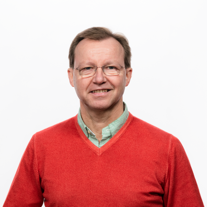
Univ.-Prof. Mag. Dr.rer.nat. Gottfried Kirchengast
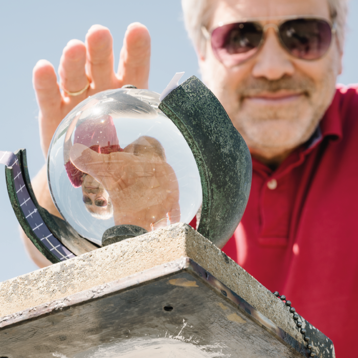
Assoz. Prof. Mag. Dr.rer.nat. Ulrich Foelsche
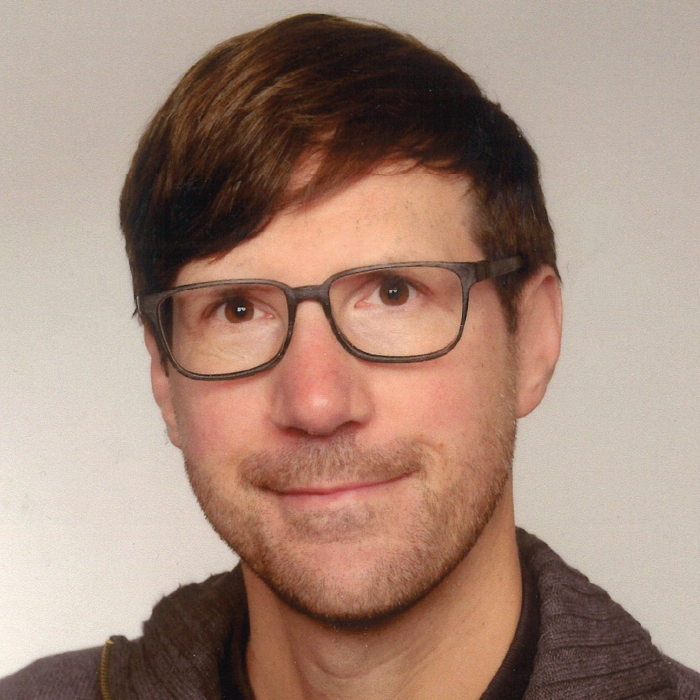
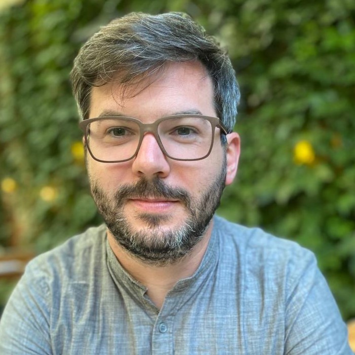
Dipl.-Ing. Dr.techn. BSc Andreas Kvas
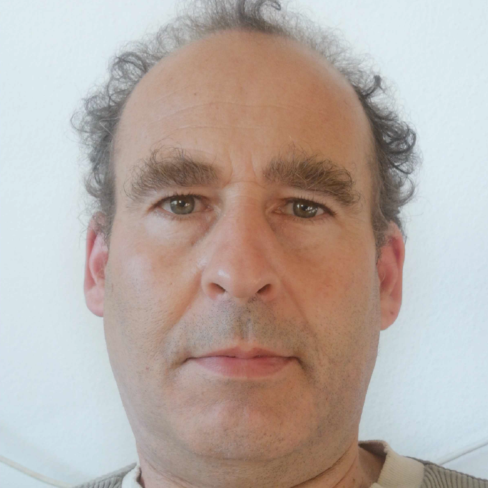
Christoph Bichler
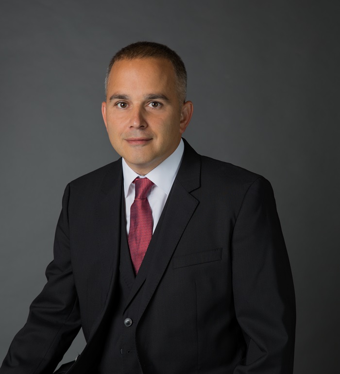
BSc MSc Robert Galovic
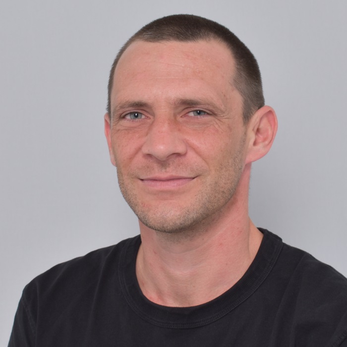
BSc MSc Daniel Scheidl
Further team members & partners
Alois Neuwirth (field maintenance support)
Albert Neuwirth (field maintenance support)
Andreas Pilz, Ing. (measuring technology and sensor systems)
Heimo Truhetz, Dr. (Support GIS, Advice wind data products)
Stephanie Haas, Dipl.-Ing. (PhD thesis, WegenerNet & weather extremes)
Severin Lueps, BSc. MSc. (2021-2022)
Thomas Hocking, MSc. (2021-2022)
Dr. Christoph Schlager (2015-2019)
Dr. Thomas Kabas (2006-2019)
DI Gunther Lenz (2015-2017)
Hr. Daniel Lieb (2016)
Katalin Szebérenyi MSc. (2013-2014)
Dr. Armin Leuprecht (2006-2012)
Richard Gsöls (until 2012)
Christoph Stieb (2008-2009)
Anil Bakirci (2008-2009)
Mag. Sophia Binder (2005-2008)
Stefan Ulrich (2007)
Rok Bratusa (2006)
Roland Gfrerer (2006)
Wolfgang Gfrerer (2006)
Markus Prassl (2006)